MRGO Storm Surge Page


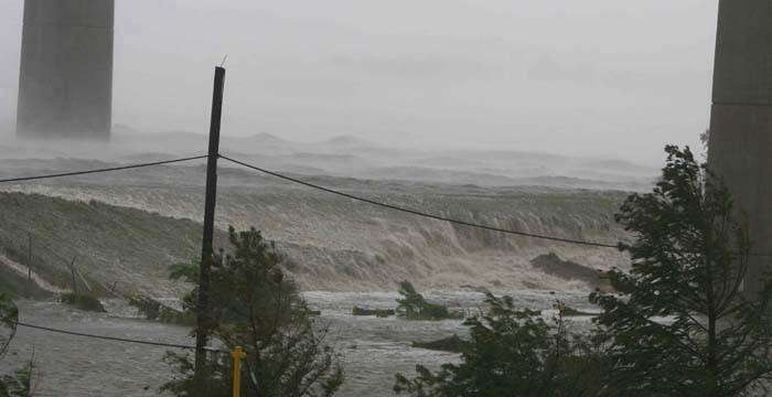
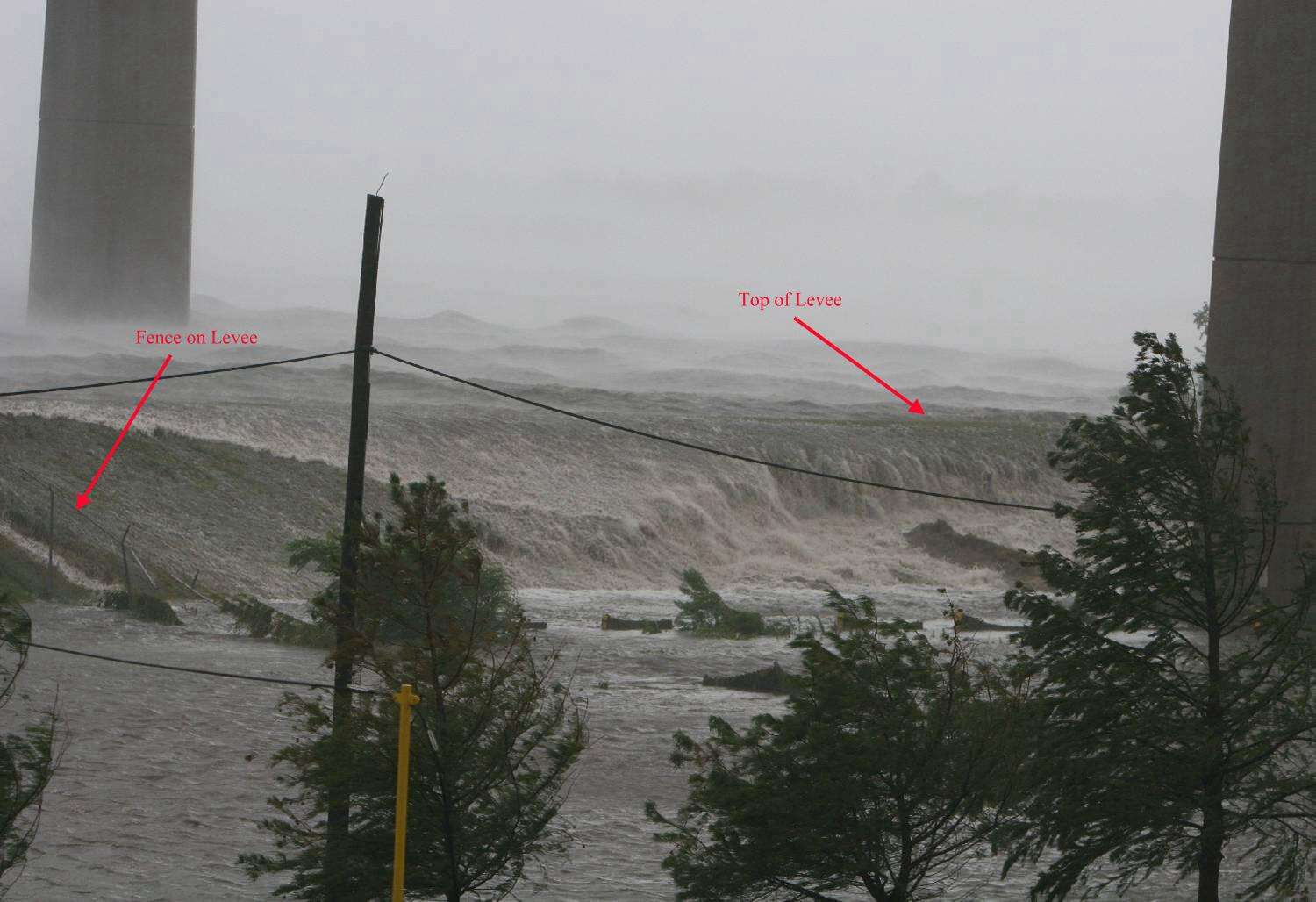
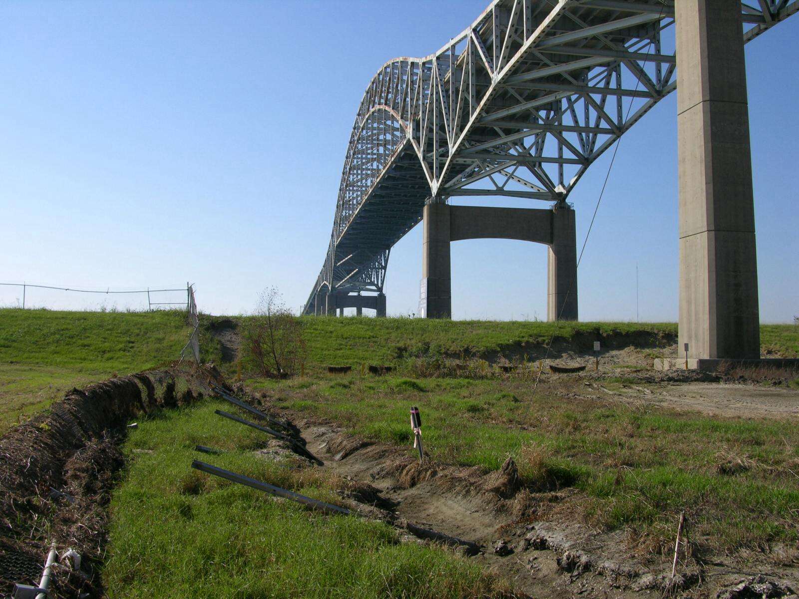
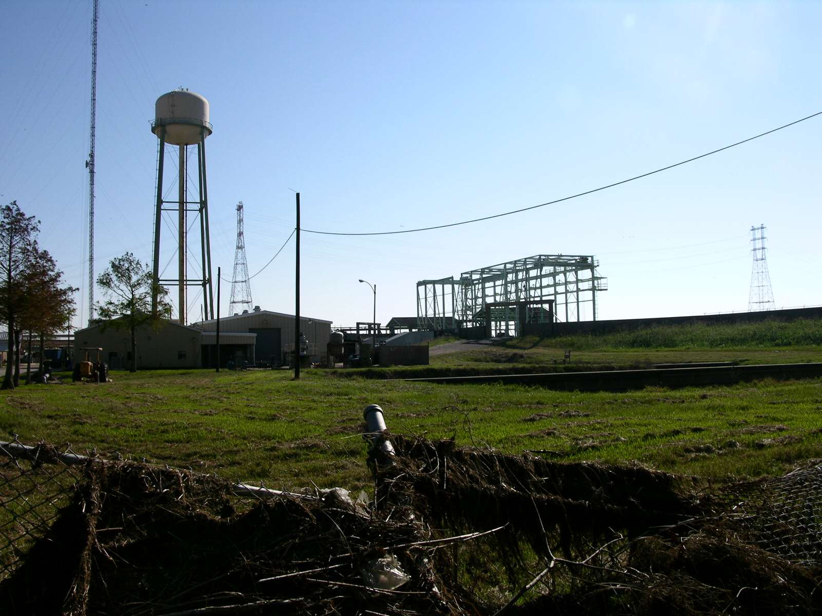
This photo shows the storm surge at the Paris Road bridge during Hurricane Katrina. It has been circulating on the internet and has recently become the subject of some debate over its authenticity. I believe this photo to be authentic. This page explains why.

When most people first see this photo, They assume that they are looking a large, tsunami-like wave, surging down the MRGO towards St. Bernard. However, if you look closely at the picture, you can see that this is clearly not the case. What we are seeing here is water overflowing the north levee of the MRGO/Intra-coastal canal, directly under the Paris Road bridge.

Below is a high-resolution version of the same image.
That the camera angle is consistent with a shot taken from the power plant, looking southwest toward the bridge and the levee (not southeast, toward a giant wall of water, as many people assume).

I took the picture below on 10-15-2005. It shows the same general area. Although it is taken from a slightly different angle, it is easy to identify many of the features in the original photograph. Notice the large hole that has been eroded into the levee (just right of center, behind the bridge column). Water can be seen flowing into this hole in the original photo.

This photo shows the power plant building from which the storm surge photo was taken.

This photo shows the telephone pole visible in the storm surge photo. Notice the short wire sticking out of the top.